


New interactive ICES map
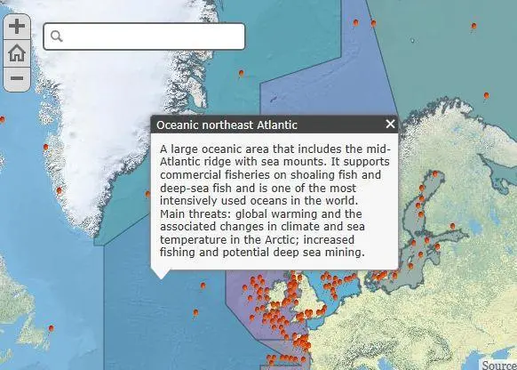
The International Council for the Exploration of the Sea (ICES) has launched a new interactive map, which shows ICES assessments of the status of fish stocks in the Northeast Atlantic
Related Articles
 INDUSTRY NEWS
 FISHERIES
 SAFETY & DISTRESS